

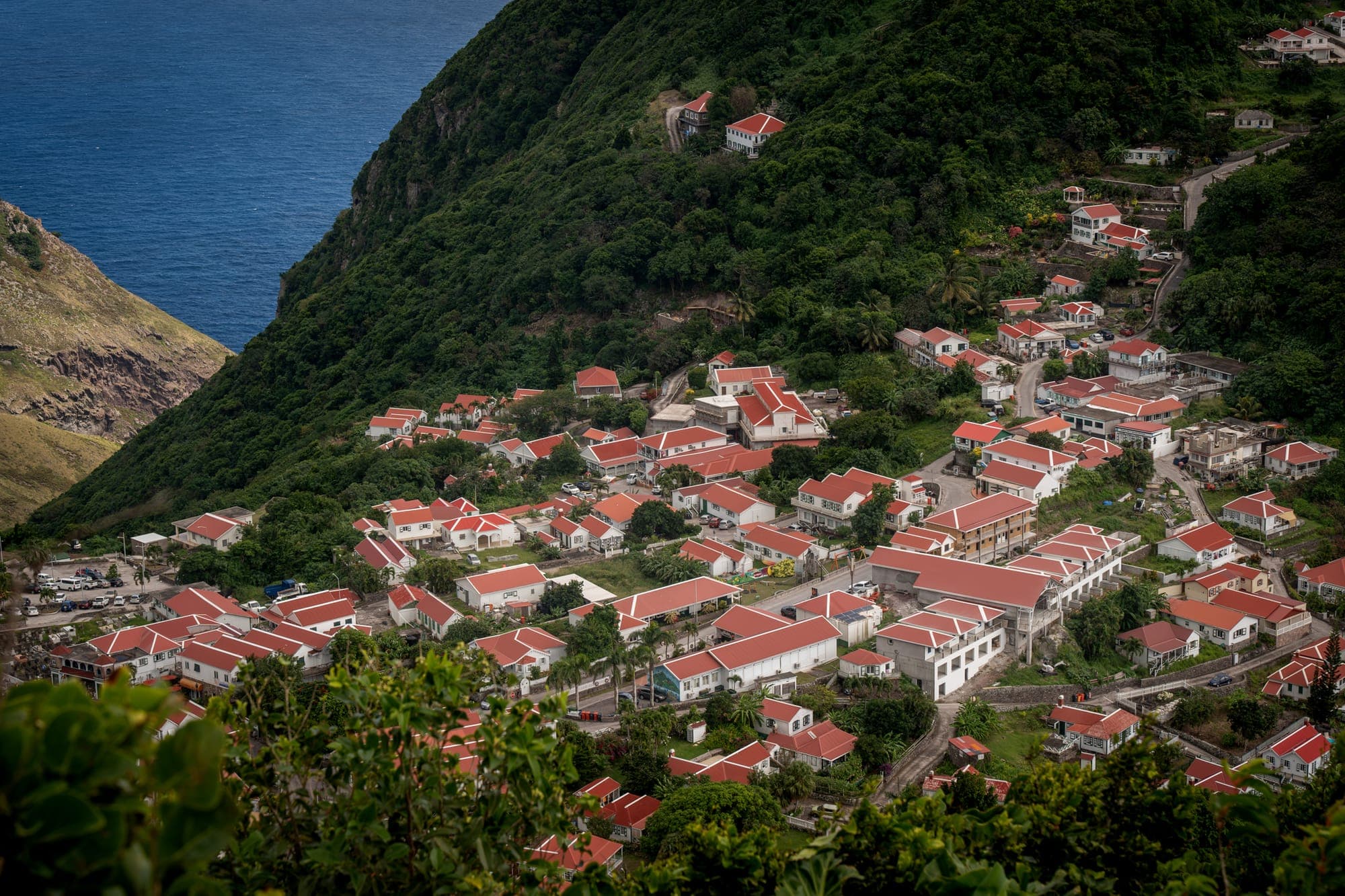
Saba is a volcano with villages on it. No cruise ships, no traffic lights, and one beach that the sea takes away and brings back. What it has instead is rainforest, some of the best diving in the Caribbean, and about two thousand people who like it exactly as it is.
- Size
- 13 km²
- Highest point
- 887 m
- Population
- ~2,000
- Beaches
- 1, sometimes
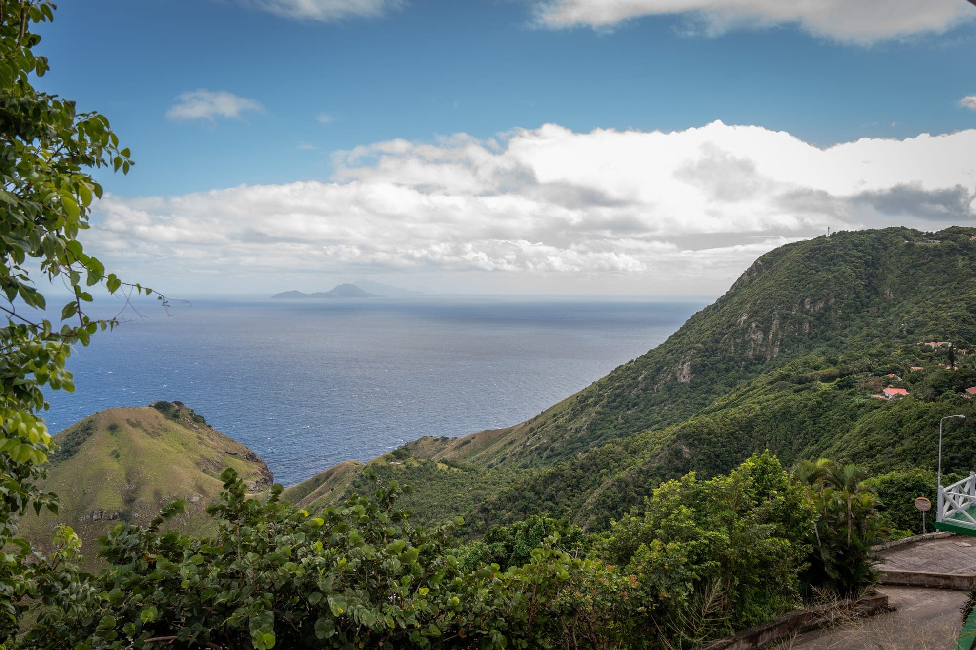
Mount Scenery is the highest point in the Kingdom of the Netherlands, and you can walk up it. There are just over a thousand steps to the top, through cloud forest that gets greener and wetter the higher you go. On a clear day you can see St Eustatius, St Kitts and St Maarten from up there.
Below the water it is better still. The Saba National Marine Park protects the whole coastline, and the underwater pinnacles off the south coast are the reason divers keep coming back. No sand means no silt, which means visibility most islands cannot offer.
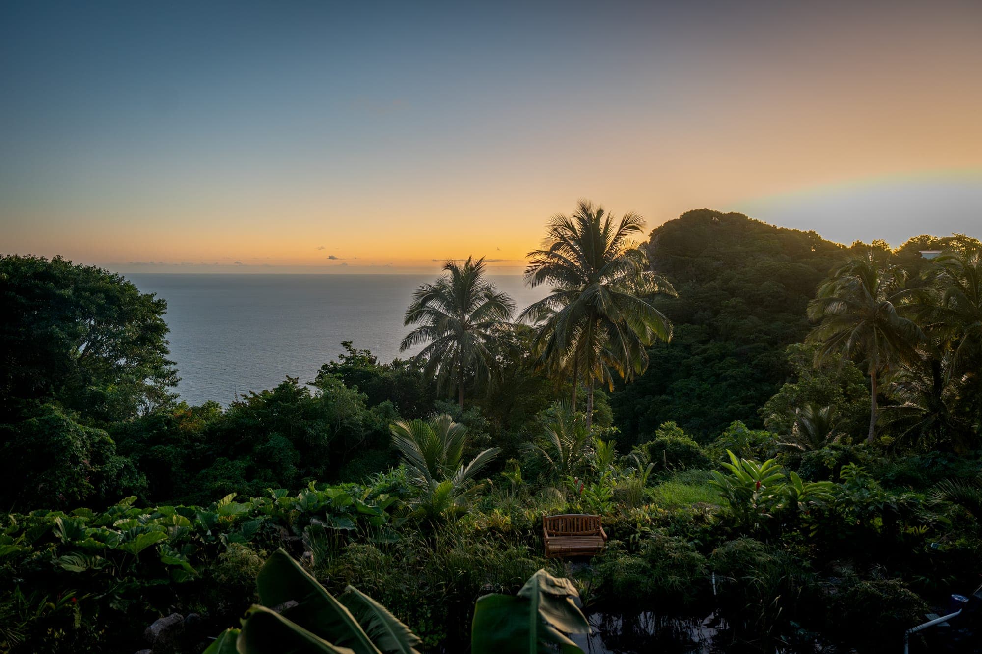
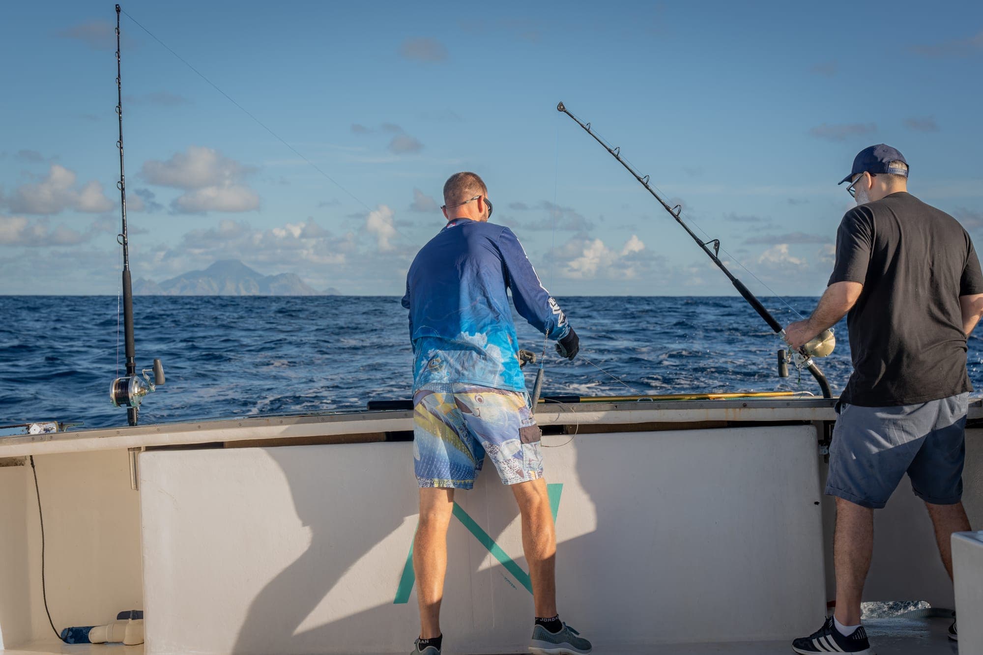
There are around a dozen marked trails, from a twenty minute walk to a serious half day. The Sandy Cruz trail and the Ladder are the ones most people remember. Dive shops in Fort Bay run trips every morning, and the fishing boats will take you out if you ask.
It is also completely acceptable to do nothing. Most of our guests plan three things and manage one, then spend the rest of the week on the veranda. That is not a failure of planning, it is what the island does to people.
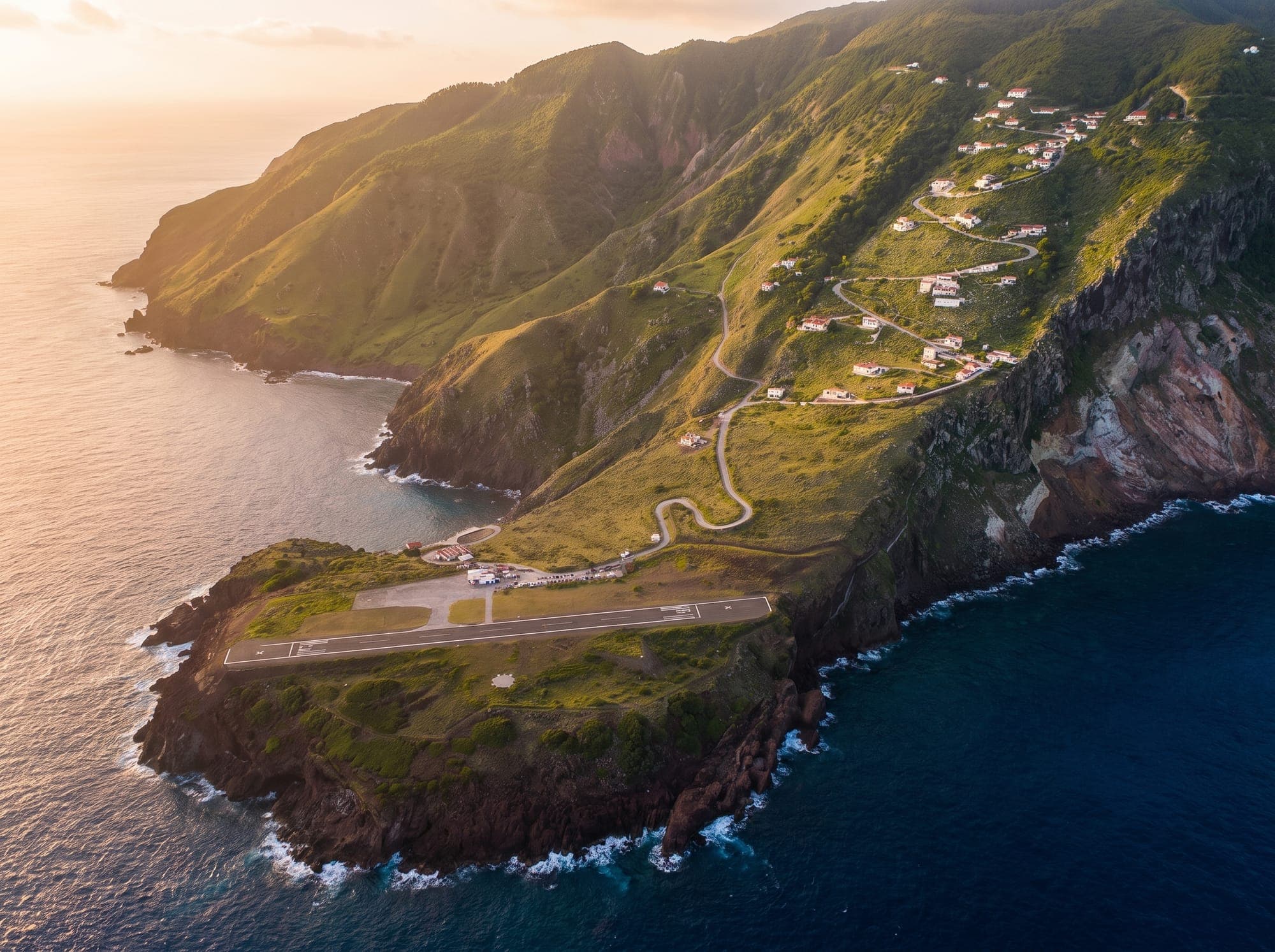
Most people fly in from Sint Maarten. It takes about twelve minutes, and it lands on the shortest commercial runway in the world, which is either the best or the worst part of the trip depending on who you ask. There is also a ferry, which takes longer and moves about more.
Once you are here, the island has one road. It is called The Road, because building it was considered impossible and nobody felt the need to name it twice. We will pick you up from the airport, so you do not have to think about any of it.
Send us a message with your dates or your question. We read everything ourselves, and we answer quickly.